This race starts in the heart of the Aboboreira mountain range, which thanks to its many granite outcrops is home to one of the most impressive examples of Portuguese megalithism.
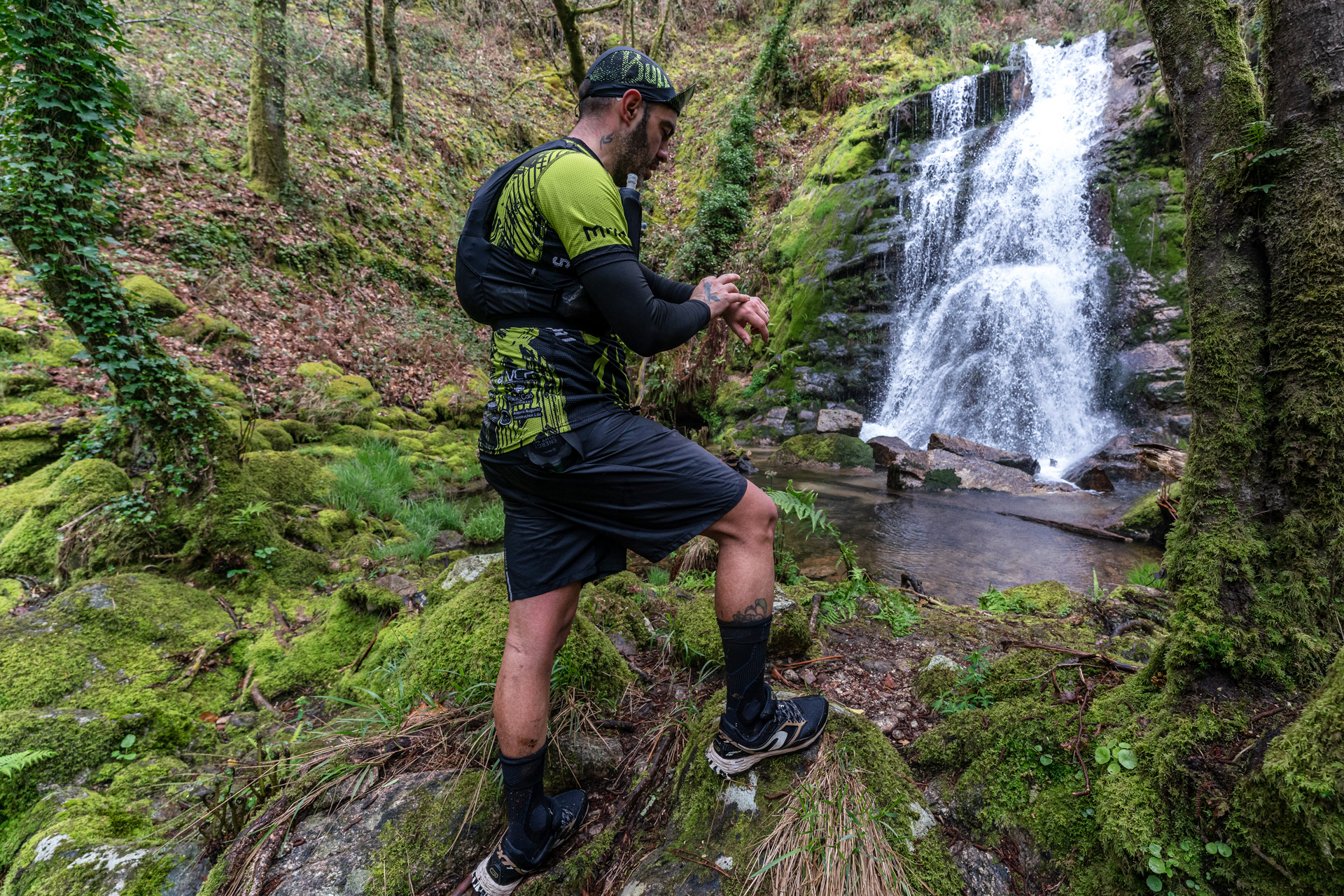
Setting off from Aldeia Velha, which is still very rural today, you’ll run along centuries-old trails, through lush forest and past the beautiful Goiva waterfalls.
This is an excellent opportunity for those looking for a very short distance, while maintaining the identity of the Marão mountain range.
Let yourself be enchanted!
TMC
15 km
400m D+
5-HOUR LIMIT

Sector 1
ALDEIA VELHA – GOUVEIA (S. SIMÃO)
The rurality of Aldeia Velha symbolically marks the start. The already bucolic scenery is quickly invaded by a succession of magnificent waterfalls that run along the Ribeiro da Goiva. You arrive at the picnic area of S. Simão de Gouveia, flanked by successive waterfalls. After the village you’ll find the feed station.
6.9 Km // 42 mD+ // 615 mD-
Maximum time: 2h00
Time limit: 11h30
GPS coordinate: 41.2253;-8.07209
Team: SavageNatur Events
Sector 2
GOUVEIA (S. SIMÃO) – AMARANTE
You descend to the river Ovelha. Take a short climb along an abandoned levada.
In Salvador do Monte, after passing through the village, there is a short descent to the River Tâmega. You walk two kilometres alongside the river along a forest path and arrive in Amarante. End of the challenge.
8.3 Km // 334 mD+ // 449 mD-
Maximum time: 3h00
Time limit: 14h30
GPS coordinate: 41.26714;-8.08028

Manage Consent
Functional Always active
These cookies are essential to make our website work. They enable core functions such as security, network management, and accessibility, or are required to deliver a service you have specifically requested.
Preferences
These cookies remember your settings and preferences, such as language or region.
Statistics
These cookies collect data only for statistical purposes to help us understand how our website is used.
These cookies collect anonymous statistics. Without additional data, they cannot be used to identify you.
Marketing
These cookies help us deliver personalised ads and track browsing activity across this and other websites for similar marketing purposes.